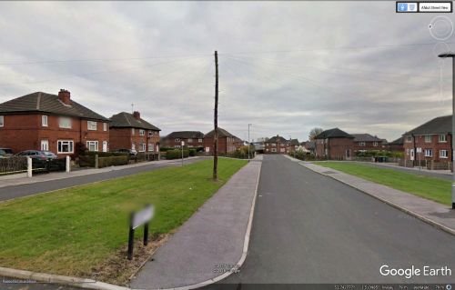
Sherwood Green (Robin Hood, Wakefield)
From International Robin Hood Bibliography
| Locality | |
|---|---|
| Coordinate | 53.742756, -1.510738 |
| Adm. div. | West Riding of Yorkshire |
| Vicinity | Leeds Road, Wakefield |
| Type | Thoroughfare |
| Interest | Miscellaneous |
| Status | Extant |
| First Record | 1947 |
Sherwood Green.
By Henrik Thiil Nielsen, 2016-12-31. Revised by Henrik Thiil Nielsen, 2021-01-06.
Sherwood Green is a residential street in the village of Robin Hood in Wakefield. A 6" O.S. map of the area published in 1947, but based on a survey carried out in 1938, shows the street under construction (see Maps section below). Before then the area belonged to the Robin Hood Colliery. Given the predilection for Robin Hood-related place-names in the area it would seem a relatively certain guess that Sherwood Green owes its name to Sherwood Forest's connection with the outlaw.
Maps
- 6" O.S. map Yorkshire 233 (1854; rev. 1848-51)
- 6" O.S. map Yorkshire CCXXXIII.NE (1894; rev. 1892)
- 6" O.S. map Yorkshire CCXXXIII.NE 1908; rev. 1905)
- 6" O.S. map Yorkshire CCXXXIII.NE (1908; rev. 1905) (georeferenced)
- 6" O.S. map Yorkshire CCXXXIII.NE (1931; rev. 1931-32) [sic]
- 6" O.S. map Yorkshire CCXXXIII.NE (1947; rev. 1938)
- 6" O.S. map Yorkshire CCXXXIII.NE (1949; rev. 1948).
Also see
- Robin Hood (Wakefield) place-name cluster
- Wakefield place-name cluster
- Places named after Sherwood Forest.

