From International Robin Hood Bibliography
The printable version is no longer supported and may have rendering errors. Please update your browser bookmarks and please use the default browser print function instead.
| Locality |
|---|
| Coordinate |
52.606323, 1.283447 |
|---|
| Adm. div. |
Norfolk |
|---|
| Vicinity |
Area bounded by Ipswich, Lakenham and Hall roads |
|---|
| Type |
Area |
|---|
| Interest |
Miscellaneous |
|---|
| Status |
Extant |
|---|
| First Record |
|
|---|
Loading map...
{"minzoom":false,"maxzoom":false,"mappingservice":"leaflet","width":"34%","height":"400px","centre":false,"title":"","label":"","icon":"","lines":[],"polygons":[],"circles":[],"rectangles":[],"copycoords":false,"static":false,"zoom":false,"defzoom":9,"layers":["OpenStreetMap","NLS","Stamen.Terrain"],"image layers":[],"overlays":[],"resizable":false,"fullscreen":true,"scrollwheelzoom":true,"cluster":false,"clustermaxzoom":20,"clusterzoomonclick":true,"clustermaxradius":80,"clusterspiderfy":true,"geojson":"","clicktarget":"","imageLayers":[],"locations":[{"text":"\u003Cdiv class=\"mw-parser-output\"\u003E\u003Cp\u003ETuckswood (Norwich)\n\u003C/p\u003E\u003C/div\u003E","title":"Tuckswood (Norwich)\n","link":"","lat":52.606323,"lon":1.283447,"icon":""}],"imageoverlays":null}
Tuckswood (Norwich).
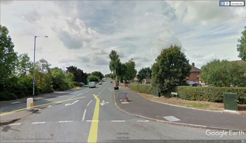
Street in Tuckswood / Google Earth Street View.
By Henrik Thiil Nielsen, 2018-01-10. Revised by Henrik Thiil Nielsen, 2021-01-06.
Tuckswood is a roughly triangular area bounded by Ipswich, Lakenham and Hall roads. The element "Tuck" in the name must have been what inspired someone to give most of the streets in the area Robin Hood-themed names. Tuckswood place-name cluster is the largest group of such names I have found anywhere.
Gazetteers
Also see

