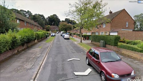
Sherwood Way (Tunbridge Wells)
From International Robin Hood Bibliography
| Locality | |
|---|---|
| Coordinate | 51.14182, 0.285138 |
| Adm. div. | Kent |
| Vicinity | Within area enclosed by Sherwood Road, east Sandhurst Road, in Tunbridge Wells |
| Type | Thoroughfare |
| Interest | Miscellaneous |
| Status | Extant |
| First Record | |
On Sherwood Way in Sherwood, Tunbridge Wells.
By Henrik Thiil Nielsen, 2020-11-10. Revised by Henrik Thiil Nielsen, 2021-02-13.
Sherwood Way is a residential cul-de-sac on the south side of the northern part of a winding road named Sherwood Road in the Tunbridge Wells neighbourhood of Sherwood.
Gazetteers
- Not included in Dobson, R. B., ed.; Taylor, J., ed. Rymes of Robyn Hood: an Introduction to the English Outlaw (London, 1976), pp. 293-311.
Maps
- 25" O.S. map Kent LX.8 (c. 1873; surveyed 1866). No copy in NLS
- 25" O.S. map Kent LX.8 (1897; rev. 1895) (georeferenced)
- 25" O.S. map Kent LX.8 (1897; rev. 1895)
- 25" O.S. map Kent LX.8 (1909; rev. 1907)
- 25" O.S. map Kent LX.8 (1941; rev. 1936–37)
- 6" O.S. map Kent LX (1872; surveyed 1868–69)
- 6" O.S. map Sussex VII (1878; surveyed 1873)
- 6" O.S. map Kent LX.NE (1898; rev. 1895) (georeferenced)
- 6" O.S. map Kent LX.NE (1898; rev. 1895)
- 6" O.S. map Kent LX.NE (1910; rev. 1907)
- 6" O.S. map Kent LX.NE (c. 1947; rev. 1938)
- 6" O.S. map Kent LX.NE (c. 1951; rev. 1938).
Background
Also see

