Robin Hood Pub (Surrey): Difference between revisions
From International Robin Hood Bibliography
m (Text replacement - "pnvicinity" to "Vicinity") |
m (Text replacement - "AdmDiv" to "AdministrativeDivision") |
||
| Line 5: | Line 5: | ||
|data2 = [[Geopoint::49.13345,122.849386]] | |data2 = [[Geopoint::49.13345,122.849386]] | ||
|label3=Adm. div. | |label3=Adm. div. | ||
|data3=[[ | |data3=[[AdministrativeDivision::British Columbia]] | ||
|label4 = Vicinity | |label4 = Vicinity | ||
|data4 = [[Vicinity::13466 72 Avenue, Surrey, BC]] | |data4 = [[Vicinity::13466 72 Avenue, Surrey, BC]] | ||
Revision as of 21:27, 5 January 2021
| Locality | |
|---|---|
| Coordinates | 49.13345, 122.849386 |
| Adm. div. | British Columbia |
| Vicinity | 13466 72 Avenue, Surrey, BC |
| Type | Public house |
| Interest | Robin Hood name |
| Status | Extant |
| First Record | ? |
Location of the Robin Hood Pub.

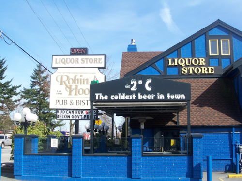
The Robin Hood Pub (photo from: The pub's Facebook page).
By Henrik Thiil Nielsen, 2013-08-07. Revised by Henrik Thiil Nielsen, 2021-01-05.
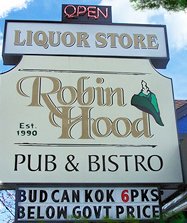
The Robin Hood Pub & Bistro and Beer & Wine Store was established in 1990.
Sources

