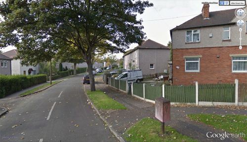
Robin Hood Crescent (Wakefield)
From International Robin Hood Bibliography
Robin Hood Crescent.
By Henrik Thiil Nielsen, 2014-10-19.
Robin Hood Crescent and Little John Crescent are two streets in a residential area c. 2 km SW of central Wakefield which together form an ellipse round Sherwood Grove.
Gazetteers
- Not included in Dobson, R. B., ed.; Taylor, J., ed. Rymes of Robyn Hood: an Introduction to the English Outlaw (London, 1976), pp. 293-311.

