Template:PnItemTop
Loading map...
{"minzoom":false,"maxzoom":false,"mappingservice":"leaflet","width":"34%","height":"400px","centre":false,"title":"","label":"","icon":"","lines":[],"polygons":[],"circles":[],"rectangles":[],"copycoords":false,"static":false,"zoom":false,"defzoom":9,"layers":["OpenStreetMap","NLS","Stamen.Terrain"],"image layers":[],"overlays":[],"resizable":false,"fullscreen":false,"scrollwheelzoom":true,"cluster":false,"clustermaxzoom":20,"clusterzoomonclick":true,"clustermaxradius":80,"clusterspiderfy":true,"geojson":"","clicktarget":"","imageLayers":[],"locations":[],"imageoverlays":null}
Approximate location of Robin Hood Close Close
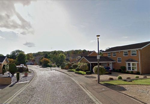
Robin Hood Close Close, Bretton, Peterborough / Google Earth Street View.
By Henrik Thiil Nielsen, 2014-10-18. Revised by Henrik Thiil Nielsen, 2018-05-25.
A small street in a residential area in Bretton, Peterborough. There is a Little John's Close (not Little John Close) in the neighbourhood.
Gazetteers
- Not included in Dobson, R. B., ed.; Taylor, J., ed. Rymes of Robyn Hood: an Introduction to the English Outlaw (London, 1976), pp. 293-311
- Not included in Gover, J.E.B.; Mawer, A.; Stenton, F.M. The Place-Names of Northamptonshire (English Place-Name Society, vol. X) (Cambridge, 1933).
Template:PnItemAlsoSee
Template:PnItemNav

