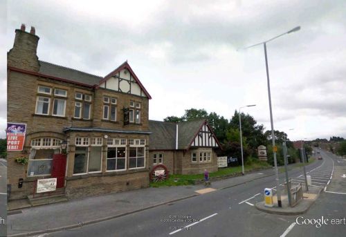
Robin Hood (Wakefield)
| Locality | |
|---|---|
| Coordinates | 53.741278, -1.508186 |
| Adm. div. | West Riding of Yorkshire |
| Vicinity | c. 2.5 km SW of Rothwell |
| Type | Settlement |
| Interest | Robin Hood name |
| Status | Extant |
| First Record | 1841 |
By Henrik Thiil Nielsen, 2013-08-07. Revised by Henrik Thiil Nielsen, 2017-06-09.
The first mention of a hamlet or village named Robin Hood c. 2.5 km south-west of Rothwell is found in an 1841 MS Tithe Award.[1] Dobson & Taylor refer to an O.S. map from the same year.[2] The village grew after a mine was opened there in the mid-19th century and miners settled in the neighbourhood. The mine closed in the 1960s; the village is now a residential area. Several localities in the area are/were named after Robin Hood (the village and/or the outlaw).
Gazetteers
- Dobson, R. B., ed.; Taylor, J., ed. Rymes of Robyn Hood: an Introduction to the English Outlaw (London, 1976), p. 308, s.n. 'Robin Hood'.
Sources
- Smith, A.H. The Place-Names of the West Riding of Yorkshire (English Place-Name Society, vols. XXX-XXXVII) (Cambridge, 1961-63), pt. II, p. 138.
Background
- Wikipedia: Robin Hood, West Yorkshire; brief but useful on the village, but the discussion of its alleged Robin Hood associations is misguided.
Also see
- Robin Hood place-name cluster
- [Wakefield place-name cluster]].
Notes
Template:BeforeNavTemplate:NavTemplate:PreviousWest Riding of Yorkshire place-namesTemplate:BeforeNavTemplate:NavTemplate:Next
Template:BeforeNavTemplate:NavTemplate:PreviousYorkshire place-namesTemplate:BeforeNavTemplate:NavTemplate:Next
Template:BeforeNavTemplate:NavTemplate:PreviousPlace-namesTemplate:BeforeNavTemplate:NavTemplate:Next"th" can not be assigned to a declared number type with value 19.

