Robin Hood (Helmshore)
From International Robin Hood Bibliography
| Locality | |
|---|---|
| Coordinates | 53.689459, -2.338087 |
| Adm. div. | Lancashire |
| Vicinity | Green's Lane, Helmshore |
| Type | Public house |
| Interest | Robin Hood name |
| Status | Defunct |
| First Record | 1849 |
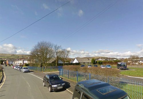
Approximate location of the Robin Hood Inn.
By Henrik Thiil Nielsen, 2014-10-17. Revised by Henrik Thiil Nielsen, 2017-05-08.
"Robin Hood", no doubt the name of a pub or inn, is indicated in Greens Lane, just east of Helmshore, on the 1849 6" O.S. map of the Haslingden area. The surveying for the map was done in 1844-45. By 1892 the pub had given way to a "Chemical Works", indicated on the 1911 map as a "Soap Works".[1] There is at present a Robin Hood Inn on Holcombe Road, on the other side of Helmshore. Was the pub moved there from Greens Lane or are they entirely unrelated?
Maps
- 6" O.S. map Lancashire Sheet LXXI (1849, surveyed 1844-45) (at NLS).
- 6" O.S. map Lancashire Sheet LXXI.SE (1894, surveyed 1891-92) (at NLS).
- 6" O.S. map Lancashire Sheet LXXI.SE (1911, surveyed 1909) (at NLS).
Also see
Notes
- ↑ See Maps section below.
"th" can not be assigned to a declared number type with value 19.

