
Robin Hood's Howl (Kirkbymoorside)
From International Robin Hood Bibliography
Robin Hood's Howl (Kirkbymoorside).
[[File:|thumb|right|500px|Robin Hood's Howl / T. Eyre, 19 Apr. 2020, Creative Commons, via Geograph.]]
By {{subst:#realname:Henryfunk}}, {{subst:CURRENTYEAR}}-{{subst:CURRENTMONTH}}-{{subst:CURRENTDAY2}}. Revised by Henrik Thiil Nielsen, 2020-08-28.
_TEXT_ Template:PnItemQry
Gazetteers
- Dobson, R. B., ed.; Taylor, J., ed. Rymes of Robyn Hood: an Introduction to the English Outlaw (London, 1976), p. 306, s.n. Robin Hood's Howl.
Maps
- 25" O.S. map Yorkshire XC.2 (1912; rev. 1910) (georeferenced)
- 25" O.S. map Yorkshire XC.2 (1893; surveyed 1891)
- 25" O.S. map Yorkshire XC.2 (1912; rev. 1910)
- 25" O.S. map Yorkshire XC.2 (1946; rev. 1938)
- 25" O.S. map Yorkshire LXXIV.14 (1893; surveyed 1891)
- 25" O.S. map Yorkshire LXXIV.14 (1912; rev. 1910)
- 6" O.S. map Kirkby Moorside parish (Revised: 1910; Yorkshire (1950s) Yorkshire XC.NW) (georeferenced)
- 6" O.S. map Yorkshire 74 (1856; surveyed 1848–53)
- 6" O.S. map Yorkshire LXXIV.SW (1895; surveyed 1891)
- 6" O.S. map Yorkshire LXXIV (1895; 1893). Not online
- 6" O.S. map Yorkshire LXXIV.SW (1914; rev. 1910)
- 6" O.S. map Yorkshire LXXIV.SW (1952; rev. 1950).
Background
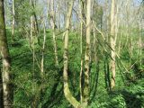
Robin Hood's Howl / T. Eyre, 19 Apr. 2020, Creative Commons, via Geograph.

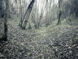
Limestone outcrop, Robin Hood's Howl / Mick Garratt, 2 Feb. 2020, Creative Commons, via Geograph.
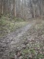
Limestone outcrop, Robin Hood's Howl / Mick Garratt, 2 Feb. 2020, Creative Commons, via Geograph.
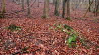
Limestone outcrop, Robin Hood's Howl / Mick Garratt, 2 Feb. 2020, Creative Commons, via Geograph.
Limestone outcrop, Robin Hood's Howl / Mick Garratt, 2 Feb. 2020, Creative Commons, via Geograph.


