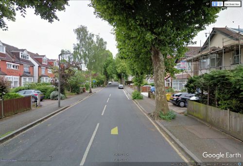
Sherwood Park Road (Sutton)
From International Robin Hood Bibliography
| Locality | |
|---|---|
| Coordinates | 51.363257, -0.199635 |
| Adm. div. | Surrey |
| Vicinity | Between Cheam Road (A232) and Robin Hood Lane |
| Type | Thoroughfare |
| Interest | Miscellaneous |
| Status | Extant |
| First Record | ? |
Sherwood Park Road.
By Henrik Thiil Nielsen, 2017-11-18. Revised by Henrik Thiil Nielsen, 2017-11-20.
Sherwood Park Road. which takes you from the A232 to Robin Hood Lane, is situated in a neighbourhood with several Robin Hood place-names, which suggests strongly that its name was inspired by the Robin Hood tradition.
Gazetteers
- Not included in Dobson, R. B., ed.; Taylor, J., ed. Rymes of Robyn Hood: an Introduction to the English Outlaw (London, 1976), pp. 293-311.
Also see

