Loading map...
{"minzoom":false,"maxzoom":false,"mappingservice":"leaflet","width":"34%","height":"400px","centre":false,"title":"","label":"","icon":"","lines":[],"polygons":[],"circles":[],"rectangles":[],"copycoords":false,"static":false,"zoom":false,"defzoom":9,"layers":["OpenStreetMap","NLS","Stamen.Terrain"],"image layers":[],"overlays":[],"resizable":false,"fullscreen":false,"scrollwheelzoom":true,"cluster":false,"clustermaxzoom":20,"clusterzoomonclick":true,"clustermaxradius":80,"clusterspiderfy":true,"geojson":"","clicktarget":"","imageLayers":[],"locations":[{"text":"","title":"","link":"","lat":51.363257,"lon":-0.199635,"icon":""}],"imageoverlays":null}
Sherwood Park Road.
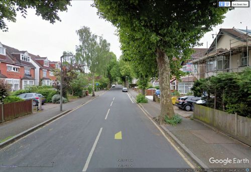
Sherwood Park Road / Google Earth Street View.
By Henrik Thiil Nielsen, 2017-11-18. Revised by Henrik Thiil Nielsen, 2017-11-20.
Template:PnItemNav

