Sherwood Park Road (Sutton): Difference between revisions
From International Robin Hood Bibliography
m (Text replacement - "=== Maps ===" to "== Maps ==") |
m (Text replacement - "=== Background ===" to "== Background ==") |
||
| Line 20: | Line 20: | ||
* [http://maps.nls.uk/view/101436679#zoom=5&lat=3581&lon=2630&layers=BT 6" O.S. map ''Surrey'' XIII.SE (1944; rev. 1938)] ('Sherwood Park Road') | * [http://maps.nls.uk/view/101436679#zoom=5&lat=3581&lon=2630&layers=BT 6" O.S. map ''Surrey'' XIII.SE (1944; rev. 1938)] ('Sherwood Park Road') | ||
* [http://maps.nls.uk/view/101436676#zoom=5&lat=3466&lon=2680&layers=BT 6" O.S. map ''Surrey'' XIII.SE (''c.'' 1946; rev. 1938)] ('Sherwood Park Road'). | * [http://maps.nls.uk/view/101436676#zoom=5&lat=3466&lon=2680&layers=BT 6" O.S. map ''Surrey'' XIII.SE (''c.'' 1946; rev. 1938)] ('Sherwood Park Road'). | ||
<!-- | <!--== Background == | ||
* --> | * --> | ||
{{PnItemAlsoSee}}<!-- | {{PnItemAlsoSee}}<!-- | ||
Revision as of 14:51, 12 July 2018
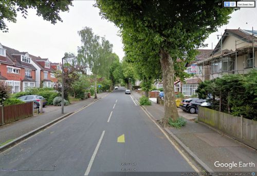
Sherwood Park Road.
By Henrik Thiil Nielsen, 2017-11-18. Revised by Henrik Thiil Nielsen, 2018-07-12.
Sherwood Park Road. which takes you from the A232 to Robin Hood Lane, is situated in a neighbourhood with other Robin Hood place-names, which suggests strongly that the name was inspired by the Robin Hood tradition or itself provided the inspiration for the Robin Hood names in the area. The earliest reference I have found is a 6" O.S. map published 1871 and based on surveying survey carried 1866-67 (see Maps section below). As the earliest 1" O.S. maps are mostly not available online, It is possible that it is included on such earlier maps. A 6" O.S. map published in 1898 (rev. 1894-95) labels the road 'Sherwood Park' tout court.
Gazetteers
- Not included in Dobson, R. B., ed.; Taylor, J., ed. Rymes of Robyn Hood: an Introduction to the English Outlaw (London, 1976), pp. 293-311.
Maps
- 25" O.S. map Surrey XIII.15 (1896; rev. 1894-95) ('Sherwood Park Road')
- 25" O.S. map Surrey XIII.15 (1913; rev. 1910) ('Sherwood Park Road')
- 25" O.S. map Surrey XIII.15 (1935; rev. 1933-34) ('Sherwood Park Road')
- 6" O.S. map Surrey XIII (1871; surveyed 1866-67) ('Sherwood Park')
- 6" O.S. map Surrey XIII.SE (1898; rev. 1894-95) ('Sherwood Park')
- 6" O.S. map Surrey XIII.SE (1898; rev. 1894-95) (georeferenced) ('Sherwood Park')
- 6" O.S. map Surrey XIII.SE (1914; rev. 1910) ('Sherwood Park Road')
- 6" O.S. map Surrey XIII.SE (1937; rev. 1933-34) ('Sherwood Park Road')
- 6" O.S. map Surrey XIII.SE (1944; rev. 1938) ('Sherwood Park Road')
- 6" O.S. map Surrey XIII.SE (c. 1946; rev. 1938) ('Sherwood Park Road').

