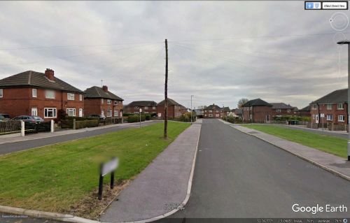
Sherwood Green (Robin Hood, Wakefield)
From International Robin Hood Bibliography
Revision as of 09:01, 5 April 2019 by Henryfunk (talk | contribs) (Text replacement - "{{#display_map:{{#var:Coords}}~{{#replace:{{PAGENAME}}|'|'}}|width=34%}}<div class="pnMapLegend">" to "{{#display_map:{{#var:Coords}}~{{#replace:{{PAGENAME}}|'|'}}|width=34%|service=leaflet}}<div class="pnMapLegend">")
Sherwood Green.
By Henrik Thiil Nielsen, 2016-12-31. Revised by Henrik Thiil Nielsen, 2019-04-05.
Sherwood Green is a residential street in the village of Robin Hood in Wakefield. A 6" O.S. map of the area published in 1947, but based on a survey carried out in 1938, shows the street under construction (see Maps section below). Before then the area belonged to the Robin Hood Colliery. Given the predilection for Robin Hood-related place-names in the area it would seem a relatively certain guess that Sherwood Green owes its name to Sherwood Forest's connection with the outlaw.
Maps
- 6" O.S. map Yorkshire 233 (1854; rev. 1848-51)
- 6" O.S. map Yorkshire CCXXXIII.NE (1894; rev. 1892)
- 6" O.S. map Yorkshire CCXXXIII.NE 1908; rev. 1905)
- 6" O.S. map Yorkshire CCXXXIII.NE (1908; rev. 1905) (georeferenced)
- 6" O.S. map Yorkshire CCXXXIII.NE (1931; rev. 1931-32) [sic]
- 6" O.S. map Yorkshire CCXXXIII.NE (1947; rev. 1938)
- 6" O.S. map Yorkshire CCXXXIII.NE (1949; rev. 1948).

