From International Robin Hood Bibliography
The printable version is no longer supported and may have rendering errors. Please update your browser bookmarks and please use the default browser print function instead.
| Locality |
|---|
| Coordinate |
51.401169, -0.140617 |
|---|
| Adm. div. |
Surrey, now Greater London |
|---|
| Vicinity |
Near Pollards Hill in Mitcham; leading southeast from Manor Road; in area bounded by Manor Road, Sherwood Park Road and Wide Way |
|---|
| Type |
Thoroughfare |
|---|
| Interest |
Robin Hood name |
|---|
| Status |
Extant |
|---|
| First Record |
1936? |
|---|
Loading map...
{"minzoom":false,"maxzoom":false,"mappingservice":"leaflet","width":"34%","height":"400px","centre":false,"title":"","label":"","icon":"","lines":[],"polygons":[],"circles":[],"rectangles":[],"copycoords":false,"static":false,"zoom":false,"defzoom":9,"layers":["OpenStreetMap","NLS","Stamen.Terrain"],"image layers":[],"overlays":[],"resizable":false,"fullscreen":true,"scrollwheelzoom":true,"cluster":false,"clustermaxzoom":20,"clusterzoomonclick":true,"clustermaxradius":80,"clusterspiderfy":true,"geojson":"","clicktarget":"","imageLayers":[],"locations":[{"text":"\u003Cdiv class=\"mw-parser-output\"\u003E\u003Cp\u003ERobinhood Close (Mitcham)\n\u003C/p\u003E\u003C/div\u003E","title":"Robinhood Close (Mitcham)\n","link":"","lat":51.401169,"lon":-0.140617,"icon":""}],"imageoverlays":null}
Robin Hood Close.
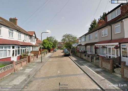
Looking northeast down Robin Hood Close / Google Earth Street View.
By Henrik Thiil Nielsen, 2017-11-20. Revised by Henrik Thiil Nielsen, 2021-01-07.
Robinhood Close in Mitcham is a residential street off Robin Hood Lane. I do not know how old the street or its name is, but the houses in Robinhood Close all seem to be of 20th century date.
Gazetteers
Background
Also see

