Robin Hood Tunnel (Berry Brow): Difference between revisions
From International Robin Hood Bibliography
m (Text replacement - "PnItemNav" to "PlaceNamesItemNavigation") |
m (Text replacement - "PnItemAlsoSee" to "PlaceNamesItemAlsoSee") |
||
| Line 9: | Line 9: | ||
== Background == | == Background == | ||
* [http://en.wikipedia.org/wiki/Penistone_Line Wikipedia:Penistone Line.] | * [http://en.wikipedia.org/wiki/Penistone_Line Wikipedia:Penistone Line.] | ||
{{ | {{PlaceNamesItemAlsoSee}}<!-- | ||
== Notes == | == Notes == | ||
<references/>--> | <references/>--> | ||
Revision as of 00:43, 6 January 2021
| Locality | |
|---|---|
| Coordinate | 53.614458, -1.789045 |
| Adm. div. | West Riding of Yorkshire |
| Vicinity | S of Berry Brow, 3.5 km S of Huddersfield |
| Type | Building |
| Interest | Robin Hood name |
| Status | Extant |
| First Record | |
Robin Hood Tunnel.
By Henrik Thiil Nielsen, 2013-08-04. Revised by Henrik Thiil Nielsen, 2021-01-06.
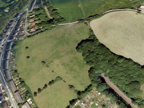
A tunnel on the Huddersfield-Penistone railway line is named Robin Hood Tunnel. It is situated near Berry Brow, not far from Robin Hood Hill and Robin Hood House.Template:PlaceNamesItemQuery
Gazetteers
- Dobson, R. B., ed.; Taylor, J., ed. Rymes of Robyn Hood: an Introduction to the English Outlaw (London, 1976), p. 309, s.n. "Robin Hood Hill and House".
Background
Also see

