Robin Hood Sidings (Robin Hood, Wakefield)
From International Robin Hood Bibliography
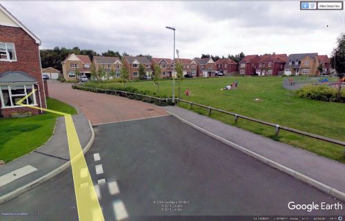
Site of Robin Hood Sidings.
By Henrik Thiil Nielsen, 2016-12-31. Revised by Henrik Thiil Nielsen, 2020-05-17.
Robin Hood Sidings in the village of Robin Hood, Wakefield, on the East and West Yorkshire Union Railway, are first recorded, as far as I know, on the 6" O.S. map of the area published in 1894. The railway was established in 1891 and extended a few years later. It closed in 1966.[1]
Maps
- 6" O.S. map Yorkshire 233 (1854; rev. 1848-51)
- 6" O.S. map Yorkshire CCXXXIII.NE (1894; rev. 1892)
- 6" O.S. map Yorkshire CCXXXIII.NE (1908; rev. 1905)
- 6" O.S. map Yorkshire CCXXXIII.NE (1908; rev. 1905) (georeferenced)
- 6" O.S. map Yorkshire CCXXXIII.NE (1931; rev. 1931-32) [sic]
- 6" O.S. map Yorkshire CCXXXIII.NE (1947; rev. 1938)
- 6" O.S. map Yorkshire CCXXXIII.NE (1949; rev. 1948).
Background
Notes

