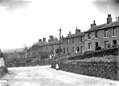
Robin Hood Hill (Berry Brow)
From International Robin Hood Bibliography
Robin Hood Hill.

Robin Hood Hill, Berry Brow / Kirklees Image Archive.
By Henrik Thiil Nielsen, 2013-08-04. Revised by Henrik Thiil Nielsen, 2017-12-21.
The English Place-Name Society volume that covers the Huddersfield area lists Robin Hood Hill and Robin Hood House (under Almondbury parish)[1] without any source reference, which usually indicates a modern date. Robin Hood Hill is the name of a hill with a c. 200 m long stretch of road off Woodhead Road. An adjacent, short and roughly L-shaped bit of road off Woodhead Road is named Hood Street. On Hood Street, one finds Robin Hood House.
Notes
Gazetteers
Sources
- Smith, A.H. The Place-Names of the West Riding of Yorkshire (English Place-Name Society, vols. XXX-XXXVII) (Cambridge, 1961-63), pt. II, p. 261.
Also see
