Robin Hood Crescent (Knaphill, Woking): Difference between revisions
From International Robin Hood Bibliography
mNo edit summary |
m (Henryfunk moved page Robin Hood Crescent (Knaphill) to Robin Hood Crescent (Knaphill, Woking) without leaving a redirect) |
Revision as of 11:54, 20 November 2017
| Locality | |
|---|---|
| Coordinates | 51.318996, -0.606102 |
| Adm. div. | Surrey |
| Vicinity | Knaphill, Woking |
| Type | Thoroughfare |
| Interest | Robin Hood name |
| Status | Extant |
| First Record | ? |
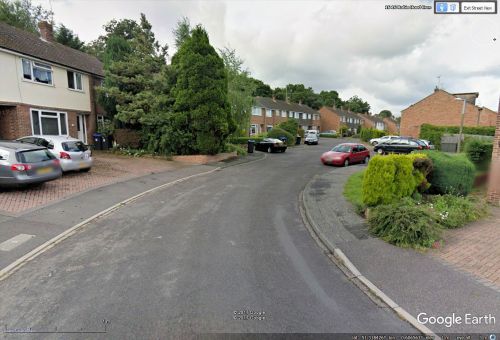
Robin Hood Crescent.
By Henrik Thiil Nielsen, 2013-08-07. Revised by Henrik Thiil Nielsen, 2017-11-20.
'Robin Hood Crescent' is the name of a litte residential street in Knaphill connecting Robin Hood Road and Beechwood Road.
Background
Also see
Template:PnItemNav "th" can not be assigned to a declared number type with value 20.

