Robin Hood (Leamside)
From International Robin Hood Bibliography
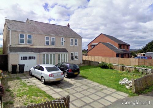
The site of the Robin Hood.
By Henrik Thiil Nielsen, 2016-09-13. Revised by Henrik Thiil Nielsen, 2019-04-05.
One of just two places in Durham known to have been named after the outlaw was the Robin Hood, a 19th century public house in Leamside, about 800 m WSW of West Rainton. It is indicated on the 6" O.S. map of the area published in 1861 but must have gone out of business by 1898, as the revision of the map published that year does not have the pub indicated (see Maps section below). Template:PnItemQry
Gazetteers
- Not included in Dobson, R. B., ed.; Taylor, J., ed. Rymes of Robyn Hood: an Introduction to the English Outlaw (London, 1976), pp. 293-311.
Maps
- 6" O.S. map Durham XX (1861, surveyed 1857)
- 6" O.S. map Durham XX.NE (1898, rev. 1895)
- 6" O.S. map Durham XX.NE (1923, rev. 1915).
Notes

