From International Robin Hood Bibliography
The printable version is no longer supported and may have rendering errors. Please update your browser bookmarks and please use the default browser print function instead.
| Locality |
|---|
| Coordinate |
51.667099, -0.371447 |
|---|
| Adm. div. |
Hertfordshire |
|---|
| Vicinity |
Side street of Robin Hood Drive, Bushey |
|---|
| Type |
Thoroughfare |
|---|
| Interest |
Robin Hood name |
|---|
| Status |
Extant |
|---|
| First Record |
|
|---|
Loading map...
{"minzoom":false,"maxzoom":false,"mappingservice":"leaflet","width":"34%","height":"400px","centre":false,"title":"","label":"","icon":"","lines":[],"polygons":[],"circles":[],"rectangles":[],"copycoords":false,"static":false,"zoom":false,"defzoom":9,"layers":["OpenStreetMap","NLS","Stamen.Terrain"],"image layers":[],"overlays":[],"resizable":false,"fullscreen":true,"scrollwheelzoom":true,"cluster":false,"clustermaxzoom":20,"clusterzoomonclick":true,"clustermaxradius":80,"clusterspiderfy":true,"geojson":"","clicktarget":"","imageLayers":[],"locations":[{"text":"\u003Cdiv class=\"mw-parser-output\"\u003E\u003Cp\u003EMarion Close (Bushey)\n\u003C/p\u003E\u003C/div\u003E","title":"Marion Close (Bushey)\n","link":"","lat":51.667099,"lon":-0.371447,"icon":""}],"imageoverlays":null}
Marion Close (Bushey).
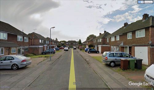
Marion Close, Bushey / Google Earth Street View.
By Henrik Thiil Nielsen, 2018-01-10. Revised by Henrik Thiil Nielsen, 2021-01-06.
Marion Close is a side street of Robin Hood Drive in Bushey. Another side street is named Friars Way. There can be little doubt that the names of these side streets were inspired by their proximity to Robin Hood Drive.
Gazetteers
Also see

