Little John Crescent (Wakefield): Difference between revisions
From International Robin Hood Bibliography
m (Text replacement - "VicinitySuffix=|" to "") |
m (Text replacement - "<!-- {{ImgGalleryIntro}} <gallery widths="195px"> FOR EACH IMAGE: File:_FILENAME.jpg|_LEGEND / [_URL _PHOTOGRAPHER, _DAY _MON. _YEAR, Creative Commons.] </gallery>-->" to "") |
||
| Line 13: | Line 13: | ||
</div | </div> | ||
{{PnItemNav}} | {{PnItemNav}} | ||
Revision as of 02:57, 18 December 2017
Approximate location of Robin Hood Crescent.
By Henrik Thiil Nielsen, 2014-10-19. Revised by Henrik Thiil Nielsen, 2017-12-18.
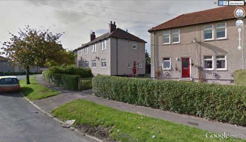
Little John Crescent and Robin Hood Crescent are two streets in a residential area c. 2 km SW of central Wakefield which together form an ellipse round Sherwood Grove.
Gazetteers
- Not included in Dobson, R. B., ed.; Taylor, J., ed. Rymes of Robyn Hood: an Introduction to the English Outlaw (London, 1976), pp. 293-311.
Also see

