From International Robin Hood Bibliography
The printable version is no longer supported and may have rendering errors. Please update your browser bookmarks and please use the default browser print function instead.
| Locality |
|---|
| Coordinate |
52.749598, -1.486416 |
|---|
| Adm. div. |
Leicestershire |
|---|
| Vicinity |
In west part of Ashby-de-la-Zouch, connecting Ingle Drive and Prestop Drive |
|---|
| Type |
Thoroughfare |
|---|
| Interest |
Robin Hood name |
|---|
| Status |
Extant |
|---|
| First Record |
20th cent. |
|---|
Loading map...
{"minzoom":false,"maxzoom":false,"mappingservice":"leaflet","width":"34%","height":"400px","centre":false,"title":"","label":"","icon":"","lines":[],"polygons":[],"circles":[],"rectangles":[],"copycoords":false,"static":false,"zoom":false,"defzoom":9,"layers":["OpenStreetMap","NLS","Stamen.Terrain"],"image layers":[],"overlays":[],"resizable":false,"fullscreen":true,"scrollwheelzoom":true,"cluster":false,"clustermaxzoom":20,"clusterzoomonclick":true,"clustermaxradius":80,"clusterspiderfy":true,"geojson":"","clicktarget":"","imageLayers":[],"locations":[{"text":"\u003Cdiv class=\"mw-parser-output\"\u003E\u003Cp\u003EIvanhoe Drive (Ashby-de-la-Zouch)\n\u003C/p\u003E\u003C/div\u003E","title":"Ivanhoe Drive (Ashby-de-la-Zouch)\n","link":"","lat":52.749598,"lon":-1.486416,"icon":""}],"imageoverlays":null}
Ivanhoe Drive.
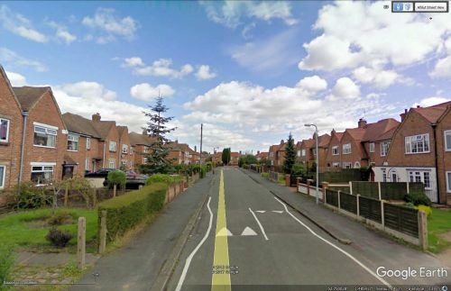
Ivanhoe Drive / Google Earth.
By Henrik Thiil Nielsen, 2017-05-08. Revised by Henrik Thiil Nielsen, 2021-01-06.
Ivanhoe Drive, a residential street running between Ingle Drive and Prestop Drive, in the west of Ashby-de-la-Zouch, was clearly constructed and developped in the 20th century, probably post-WW II.
Gazetteers
Sources
Also see

