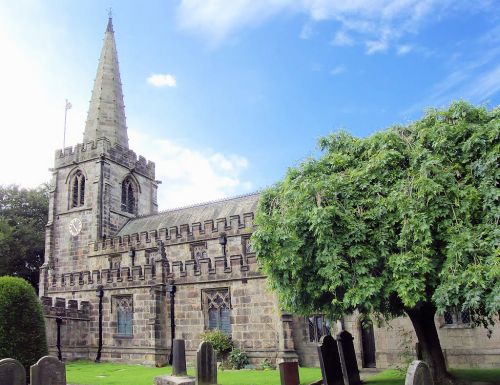
Hathersage Church: Difference between revisions
From International Robin Hood Bibliography
m (Text replacement - "{{#display_map: " to "{{#display_map:") |
mNo edit summary |
||
| Line 8: | Line 8: | ||
|label4 = Vicinity | |label4 = Vicinity | ||
|data4 = [[pnvicinity::Hathersage]] | |data4 = [[pnvicinity::Hathersage]] | ||
|label5 = Type |data5 = [[pntype::Church]] | |label5 = Type | ||
|data5 = [[pntype::Church]] | |||
|label6 = Interest | |label6 = Interest | ||
|data6 = [[pninterest::Local tradition]] | |data6 = [[pninterest::Local tradition]] | ||
Revision as of 16:43, 4 December 2017
| Locality | |
|---|---|
| Coordinates | 53.333267, -1.64998 |
| Adm. div. | Derbyshire |
| Vicinity | Hathersage |
| Type | Church |
| Interest | Local tradition |
| Status | Extant |
| First Record | c. 1750 |
Approximate location of Hathersage Church.
By Henrik Thiil Nielsen, 2013-07-03. Revised by Henrik Thiil Nielsen, 2017-12-04.
Not only is Little John's grave located in Hathersage churchyard, but inside the church were found, until c. 1750, Little John's bow, helmet, arrows, and chain mail. By 1868 the helmet and bow were said to be in the collection at Parham House.
Sources
Also see

