
File:Stow-john-1720a-pinder-of-wakefield.jpg
From International Robin Hood Bibliography

Size of this preview: 800 × 581 pixels. Other resolution: 850 × 617 pixels.
Original file (850 × 617 pixels, file size: 207 KB, MIME type: image/jpeg)
Summary
Map originally included in Stow, John 1720a. From the website of Barry Lawrence Ruderman Antique Maps Inc. (RareMaps.com): 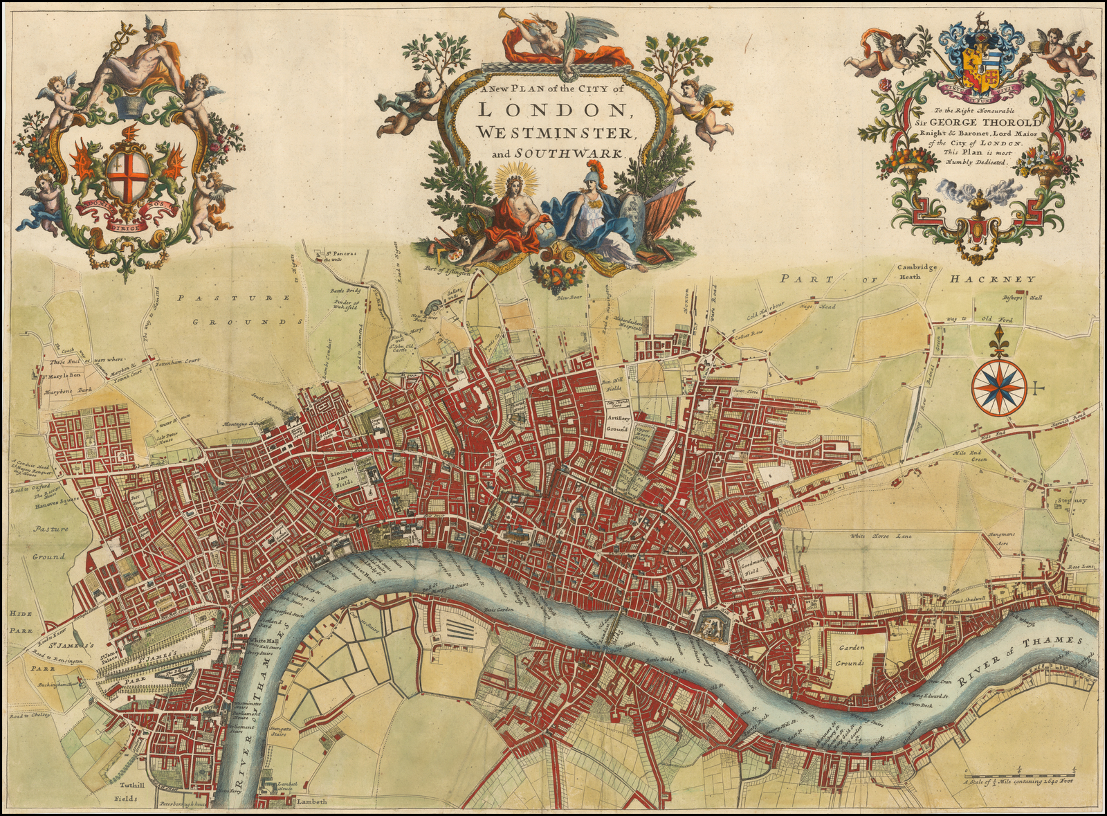 . Also see https://www.raremaps.com/gallery/detail/53870/a-new-plan-of-the-city-of-london-westminster-and-southwark-strype ,
File history
Click on a date/time to view the file as it appeared at that time.
| Date/Time | Thumbnail | Dimensions | User | Comment | |
|---|---|---|---|---|---|
| current | 21:25, 30 September 2020 | | 850 × 617 (207 KB) | Henryfunk (talk | contribs) | Map originally included in Stow, John 1720a. From the website of Barry Lawrence Ruderman Antique Maps Inc. (RareMaps.com): https://storage.googleapis.com/raremaps/img/xlarge/53870.jpg . Also see https://www.raremaps.com/gallery/detail/53870/a-new-plan-of-the-city-of-london-westminster-and-southwark-strype , |
You cannot overwrite this file.
File usage
The following page uses this file: