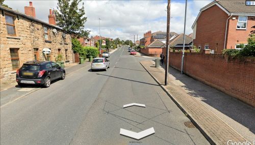
Lower Robin Hood Close (Outwood) (2)
| Locality | |
|---|---|
| Coordinate | Near 53.702475, -1.520292 ? |
| Adm. div. | West Riding of Yorkshire |
| Vicinity | Near Potovens Lane, N and S of A650, slightly N of Wrenthorpe |
| Type | Area |
| Interest | Robin Hood name |
| Status | Defunct |
| First Record | 1790 |
By Henrik Thiil Nielsen, 2020-08-22. Revised by Henrik Thiil Nielsen, 2021-01-07.
Lower Robin Hood Close (2) in Outwood figures in the records as early as 1790. Its exact location cannot be established from the information available to IRHB, but it must have been situated within an area bounded (approximately) on the north by Ledger Lane, on the east by Leeds Road (A61) as far south as the Bar Lane intersection, on the south by a line from the latter point to Wrenthorpe, on the west by Wrenthorpe Road and Potovens Lane to the intersection of the latter and Ledger Lane.
The coordinate chosen for Lower Robin Hood Close (2) was picked more or less at random but so as to fall within this area and be close to Potovens Lane. See further Robin Hood Street Close (Outwood).
Gazetteers
- Not included in Dobson, R. B., ed.; Taylor, J., ed. Rymes of Robyn Hood: an Introduction to the English Outlaw (London, 1976), pp. 293-311.
Maps
- 25" O,S, map Yorkshire CCXXXIII.14 (c. 1894; surveyed c. 1892). No copy in NLS.
- 25" O.S. map Yorkshire CCXXXIII.14 (1907; rev. 1905) (georeferenced)
- 25" O.S. map Yorkshire CCXXXIII.14 (1907; rev. 1905)
- 25" O.S. map Yorkshire CCXXXIII.14 (1914; rev. 1913)
- 25" O.S. map Yorkshire CCXXXIII.14 (1942; rev. 1939)
- 6" O.S. map Yorkshire 233 (1854; surveyed 1848–51)
- 6" O.S. map Yorkshire CCXXXIII.SW (1894; surveyed 1892)
- 6" O.S. map Yorkshire CCXXXIII.SW (1908; rev. 1906) (georeferenced)
- 6" O.S. map Yorkshire CCXXXIII.SW (1908; rev. 1906)
- 6" O.S. map Yorkshire CCXXXIII.SW (1931; rev. 1931–32)
- 6" O.S. map Yorkshire CCXXXIII.SW (1947; rev. 1939)
- 6" O.S. map Yorkshire CCXXXIII.SW (1949; rev. 1948).
Also see
Notes

