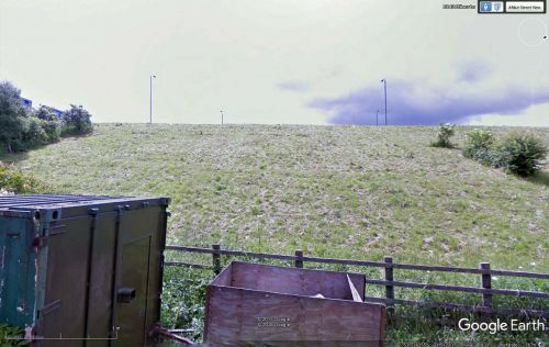
Robin Hood Colliery (Robin Hood, Wakefield) (3)
From International Robin Hood Bibliography
| Locality | |
|---|---|
| Coordinate | 53.7384, -1.5114 |
| Adm. div. | West Riding of Yorkshire |
| Vicinity | Leeds Road, Wakefield |
| Type | Establishment |
| Interest | Robin Hood name |
| Status | Extant |
| First Record | 1854 |
Robin Hood Primary School.
By Henrik Thiil Nielsen, 2016-12-31. Revised by Henrik Thiil Nielsen, 2021-01-06.
The Robin Hood Colliery or Collieries had operations in several places in the village of Robin Hood. On the 6" O.S. map of the area published in 1854 (see Maps section below), the first record of this place-name, a "Shaft" and "Engine" are also indicated in an area that is today covered by the M1, just west of Milner Lane. On subsequent maps only the site of the mine is indicated, and without label.
Gazetteers
- Not included in Dobson, R. B., ed.; Taylor, J., ed. Rymes of Robyn Hood: an Introduction to the English Outlaw (London, 1976), pp. 293-311.
Maps
- 6" O.S. map Yorkshire 233 (1854; rev. 1848-51)
- 6" O.S. map Yorkshire CCXXXIII.NE (1894; rev. 1892)
- 6" O.S. map Yorkshire CCXXXIII.NE 1908; rev. 1905)
- 6" O.S. map Yorkshire CCXXXIII.NE (1908; rev. 1905) (georeferenced)
- 6" O.S. map Yorkshire CCXXXIII.NE (1931; rev. 1931-32) [sic]
- 6" O.S. map Yorkshire CCXXXIII.NE (1947; rev. 1938)
- 6" O.S. map Yorkshire CCXXXIII.NE (1949; rev. 1948).
Also see
- Robin Hood (Wakefield) place-name cluster
- Wakefield place-name cluster
- Places named Robin Hood's Mine.

